1.15 Acre Land for Sale in Apache County, Arizona
For Sale

Off Grid in City Limits, Perfect Time to Buy

Apache County, Arizona 1.15 Acre acres ID 207-26-235 and 207-26-237
$2,000

Pricing & Owner Financing

Pay cash

$2,000

About This Property

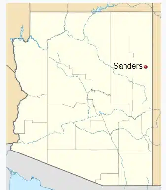
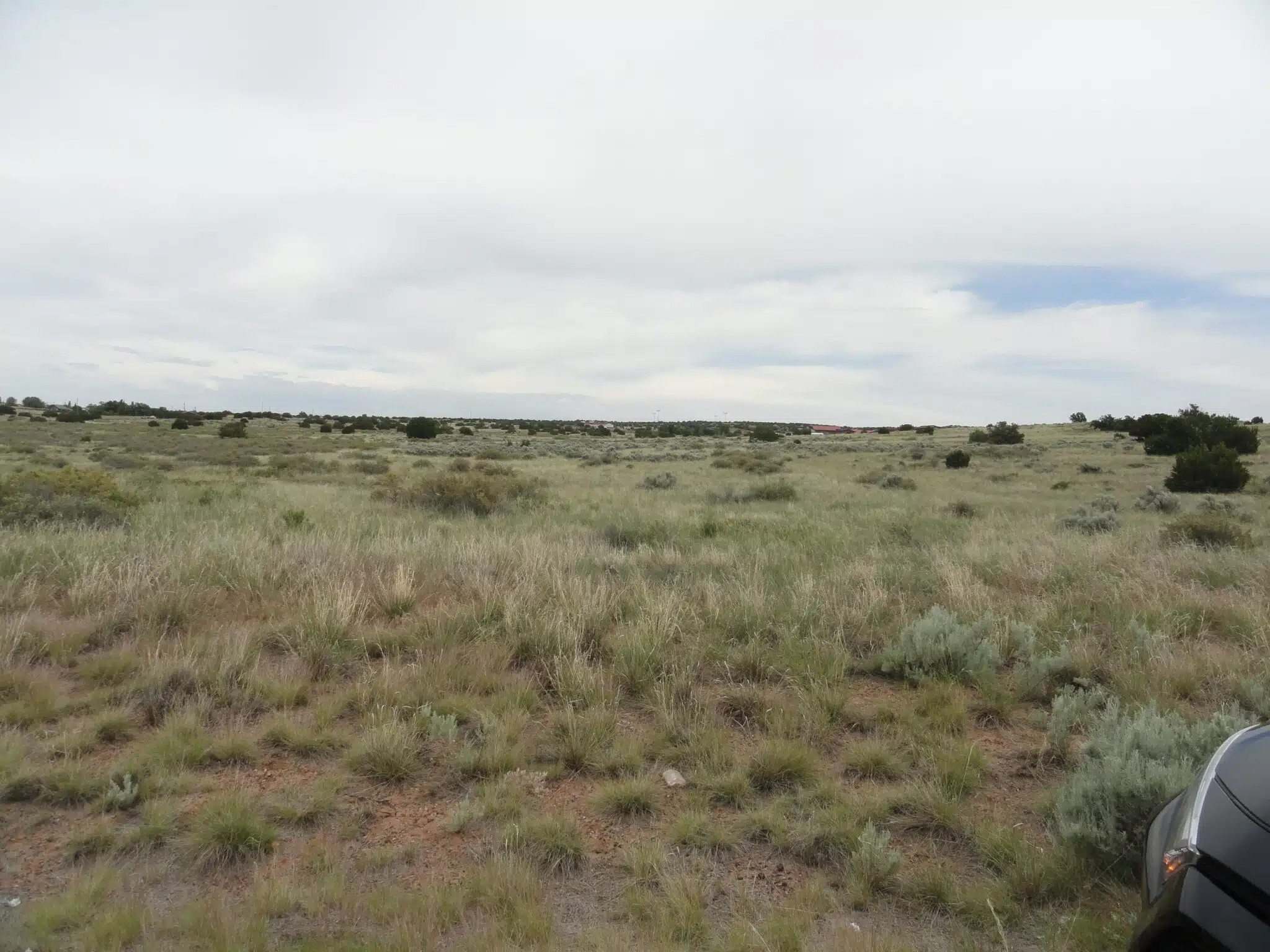
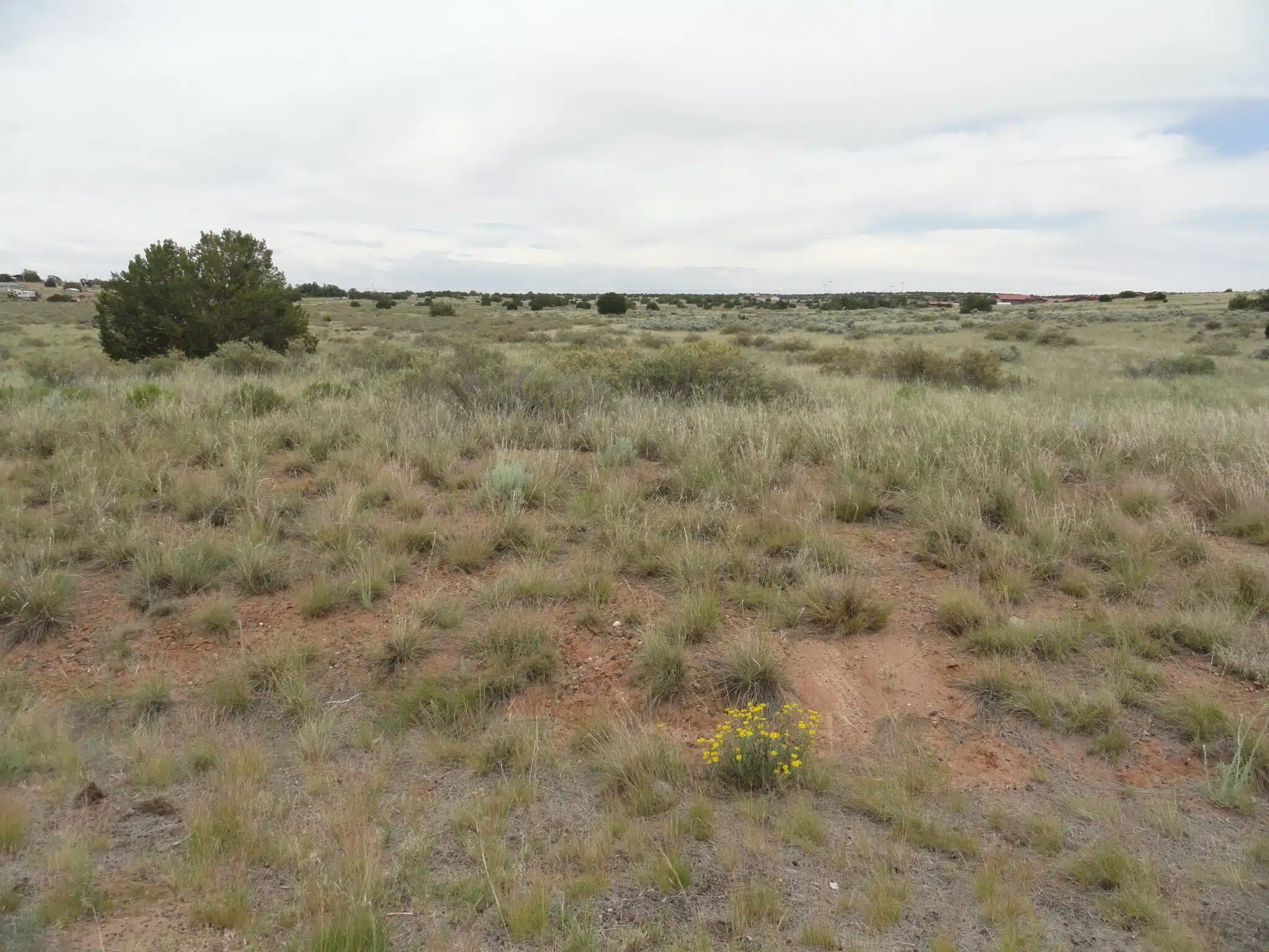
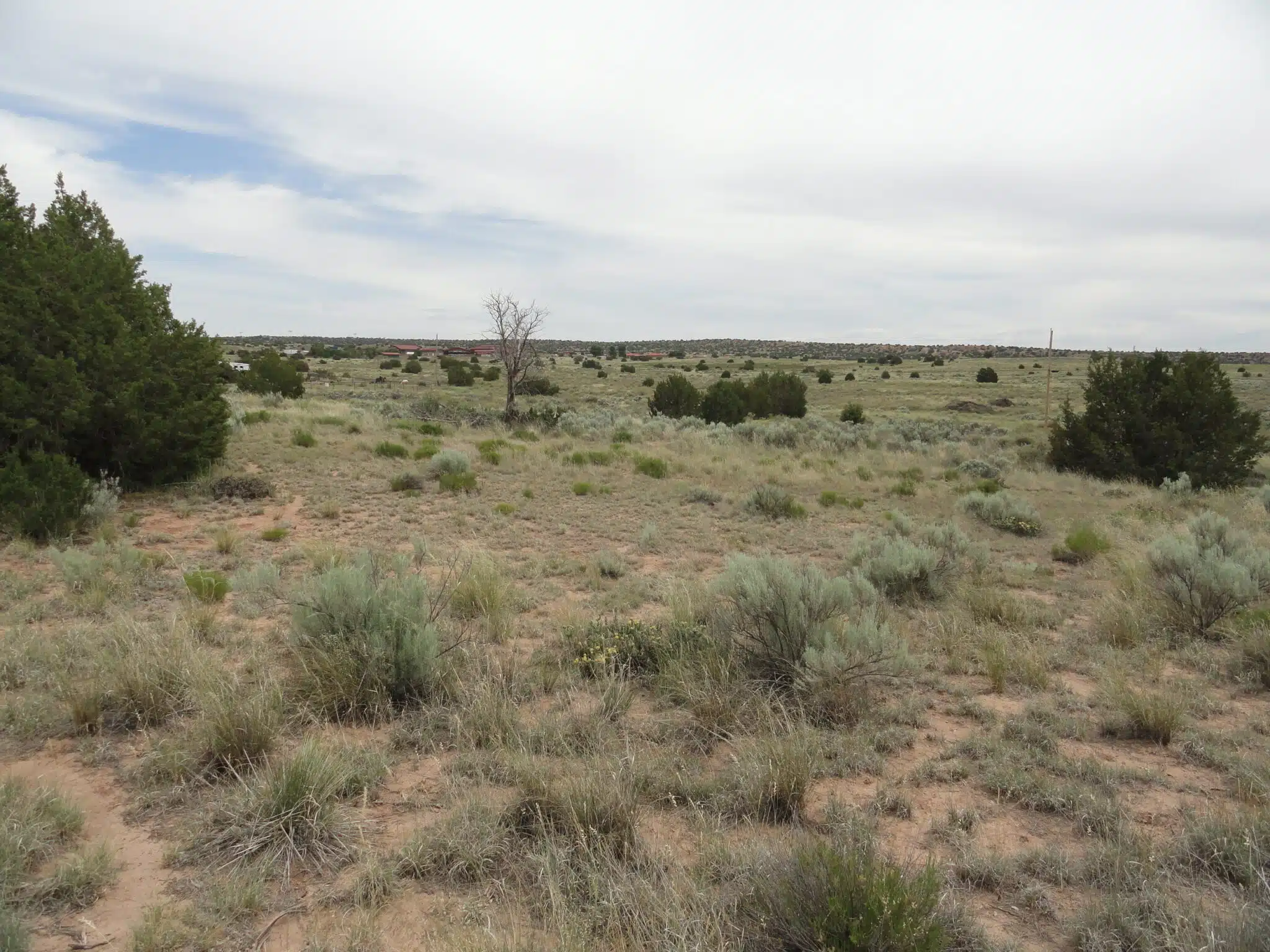
RAW VACANT LAND IN SANDERS, ARIZONA
Small Town Charm
Within city limits
Peaceful and quiet
Resell it or hold for future use

EXCELLENT LOCATION
Just five minutes from grocery store,
I-40 freeway, Route 66

LOW PRICING – YOUR CHOICE
Buy Two Parcels : $2000 each + $1000 closing = $5000
or
Buy One Parcel : $3000 + $1000 = $4000

VACANT LAND – HORSE PROPERTY
1.15 acres each
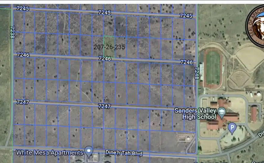
Parcel 207-26-235
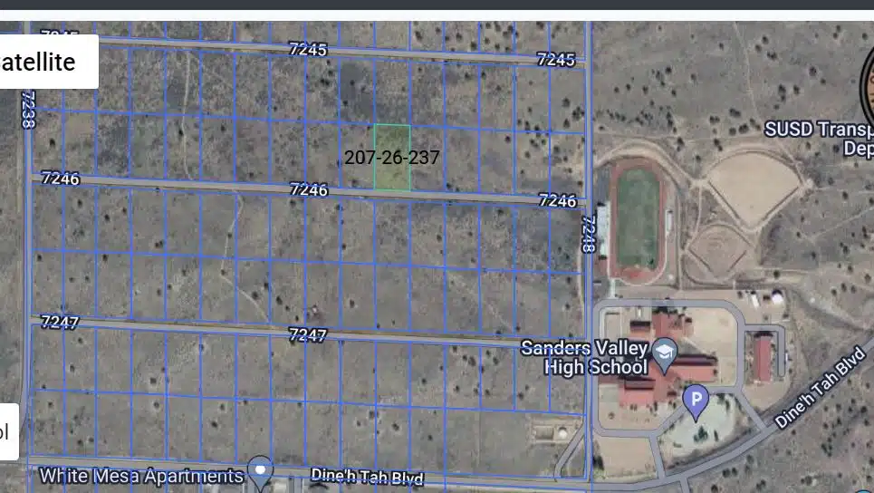
Parcel 207-26-237

UTILITY INFO
1) Water and power are nearby
2) Septic tank is required,
no city sewer in this area
3) Internet, propane, and water
delivery are available

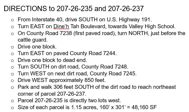
ACCESS TO YOUR PARCELS
The nearest developed dirt road is approx.
306 feet to the north.
Undeveloped County Road 7246 can be
cleared by a local company.
OR
County will clear road after they
receive a permit request from you.
Apache Co. Engineering Dept, (928) 337-7528

ALLOWED BY AGRICULTURAL ZONING
Tiny houses, mobile homes
RV camping up to 30 days
Animals

GPS COORDINATES
(Latitude, Longitude):
35.201831, -109.318766

CONTACT US
(520) 222-8030
Voicemail only, no texts.

Thank you for your interest.
—————————————-

📋 Property Details

Parcel ID
207-26-235 and 207-26-237
Acreage
1.15 Acre
Approx Dimensions
160’ x 301’
Square Feet
1.15 acres
County
Apache
State
Arizona
County Contact
Apache Co. Building Safety Dept, (928) 337-7527
Zoning
Agricultural General
Legal Description
Lot 235 (and Lot 237) of Arizona Park Estates Unit One, according to the plat of record in the office of the County Recorder of Apache County, Arizona, recorded in Book 3, Maps. Except all coal and other minerals as reserved by the United States of America.
Elevation
5,865

⚡ Features & Utilities

Road Access
County Road 7246 can be cleared by a local company
Terrain
Flat, sloping
Power
Navajo Tribal Utility Authority, (800) 528-5011
Water
Navajo Tribal Utility Authority, (800) 528-5011
Sewer
Septic tank required, no city sewer
RV Living
Temporary
Mobile Homes
Allowed
Manufactured Homes
Allowed
Camping
Allowed
FEMA Flood Zone
Zone D (Undetermined Risk)

📍 Area Information

Nearest Town
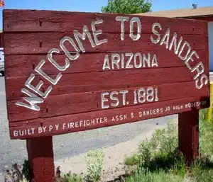
Sanders
HOA/POA
No HOA or neighbors
Annual Taxes
$10
Conveyance
Special Warranty Deed by a local title company
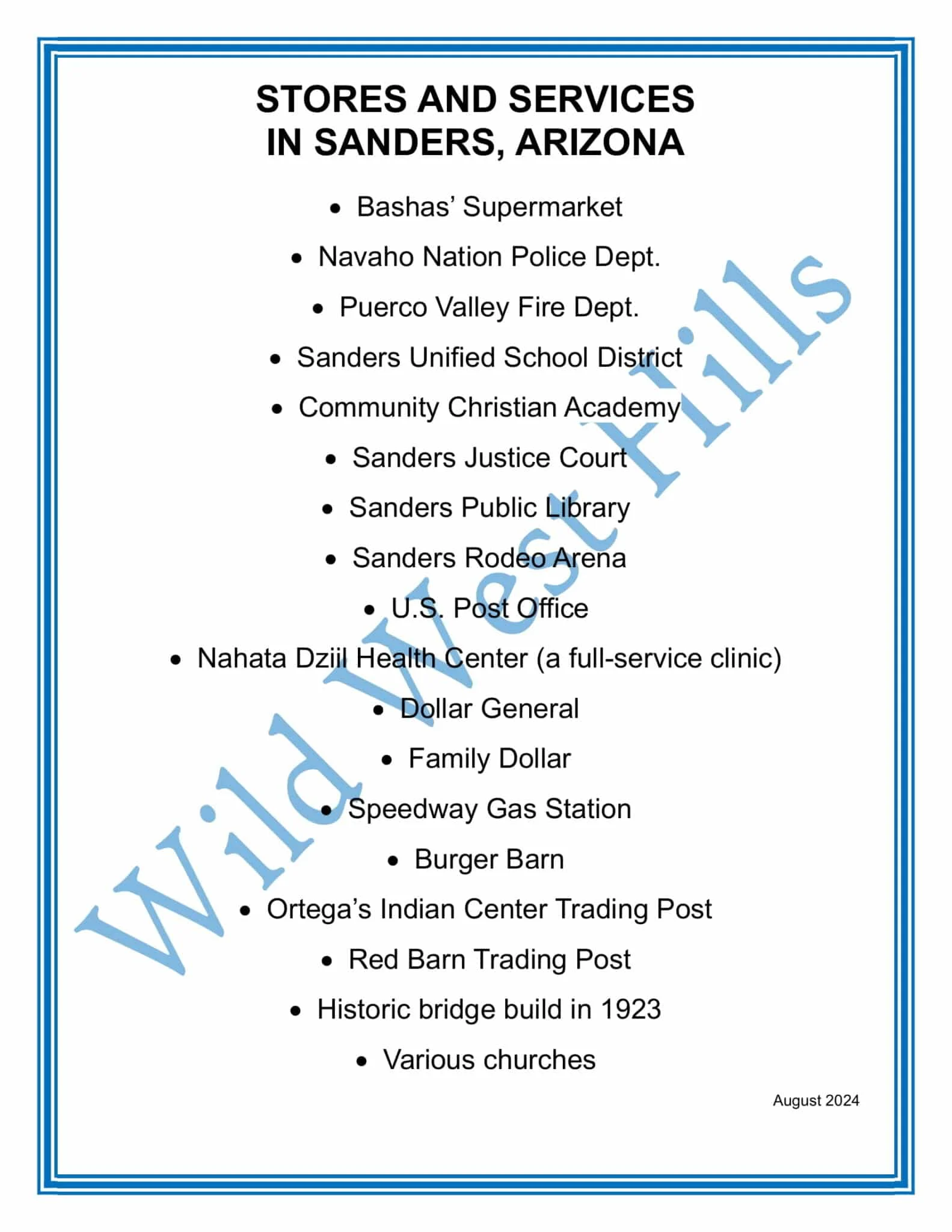
Community Amenities
Basha's Supermarket, Navajo Nation Police Department, Puerco Valley Fire Department, Sanders Justice Court, Sanders Public Library, Sanders Rodeo Arena, U.S. Post Office, Nahata Dziil Health Center (a full-service clinic), Dollar General, Family Dollar, Speedway Gas Station, Burger Barn, Ortega's Indian Center Trading Post, Red Barn Trading Post, Historic Bridge built in 1923, multiple churches, Sanders Unified School District: Elementary, Middle School, and High School.

🧭 GPS Coordinates

Center
35.201831, -109.318766

Land Features

Buildable Land
Cell/Internet Service Available
Grassland
Road
RV/Camping Allowed
Wildlife Presence

Video

Location & Map

GPS 35.201831, -109.318766

$2,000 cash price
Inquire